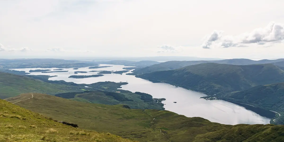
Ben Lomond at a glance
Ben Lomond rises to 974 m (3,196 ft) on the east shore of Loch Lomond and is the most southerly Munro. The National Trust for Scotland (NTS) looks after the mountain. It is open every day all year, and there is no charge for adults, families or concession groups. Parking is paid separately.
The main walk starts and ends at the Rowardennan car park. NTS grades it as Hard. Treat it as a mountain day, not as a sure fair-weather stroll.
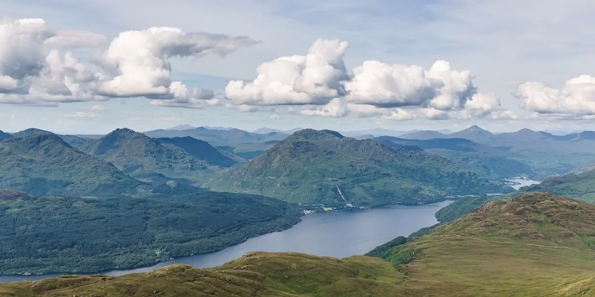
The Ben Lomond walk, step by step
The figures below follow the NTS description of the main path from Rowardennan. Allow time for rests, photos and bad weather.
Park at Rowardennan
The road ends at the Rowardennan car park, and the walk starts and finishes there. Plan the whole day around the walk. Public toilets are open from Easter to October.
The climb
The path gains about 930 m (3,050 ft) over the return route. NTS gives 13 km (8 miles) for the round trip and 4 to 6 hours of walking time. That is a hard walk for anyone not used to hills.
The summit
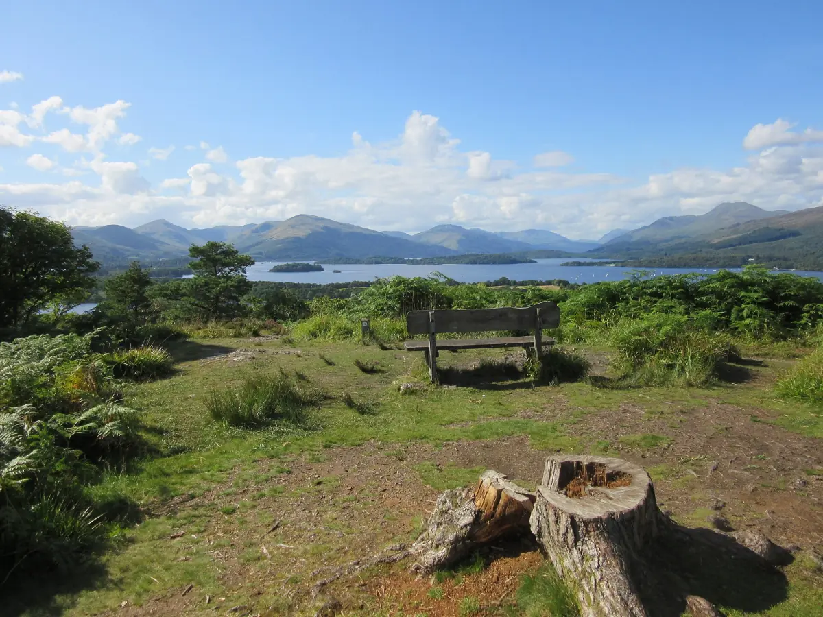
From the top you look south down the loch and north-west along it. Cloud can hide this view for the whole day, so do not plan the walk around a photo.
The way down
NTS describes the main path as an out-and-back walk. A variant returns over the Ptarmigan Ridge. Route descriptions that use it list somewhat different totals, around 12 km and about 990 m of climbing, so do not mix figures from different routes. Choose the way down only if you can navigate in cloud.
Loch Lomond tours and boat trips
Guided trips and cruises around the loch, for the days when the mountain is not the plan.
Parking at Rowardennan
You can pay at the Rowardennan car park with coins, by card or with RingGo. A Blue Badge holder parks free with the badge on display. Charges in 2026:
| Stay | Charge |
|---|---|
| Up to 1 hour | £2 |
| All day | £5 |
| Minibus or coach, all day | £14 |
A ticket does not reserve a space, and a free space at the weekend is not guaranteed. On a fine day, arrive early.
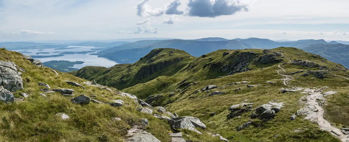
Getting to Rowardennan
The public road ends at the Rowardennan car park, 12 miles (19 km) from Drymen. There is no bus line to Rowardennan. Summer ferries from Tarbet and Luss are mentioned for the east shore, but do not build a hike around one without checking the timetable for your day. Our Glasgow to Loch Lomond page has the train, bus and car options for the rest of the journey.
For a day on the water instead, boats sail from Luss and Tarbet on the west shore. The boat trips page lists them.
Safety, gear and weather
Weather on a mountain can change within an hour. The monthly averages on our weather page come from a lowland station near Glasgow, so they say little about conditions on the summit. Check the forecast on the day and turn back early if it looks bad.
- A map and compass, and the skill to use them.
- Clothing for the mountain: waterproofs, warm layers and sturdy footwear.
- Food and water for the whole day.
- Do not use a summer route description as a guide to winter climbing.
- In an emergency call 999, ask for the police and then Mountain Rescue, and give your exact location.
Dogs: NTS asks that dogs are on a lead throughout. Keep dogs out of fields with lambs, calves or other young stock, keep them under close control near livestock and follow the signs.
Midges and ticks: midges are usually active from May to October and strongest in high summer, mostly in the morning and evening in still, damp air. Long sleeves and a repellent help. After a walk through grass, woodland or moor, check for ticks.
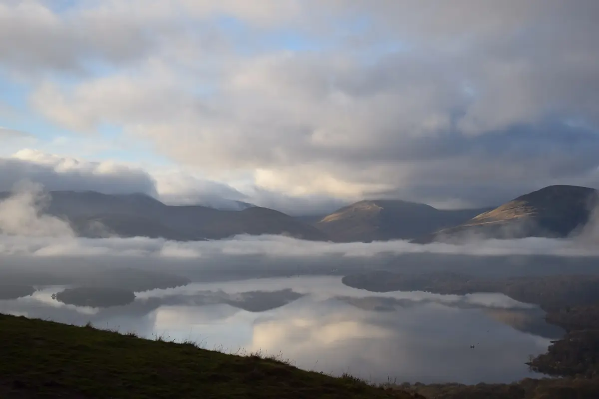
If you want a lower walk on the east shore
The West Highland Way runs along the east shore from Rowardennan to Inverarnan. It is the more remote northern part of the shore. North of Inversnaid the ground is demanding, and the path crosses the waterfall on a footbridge at Inversnaid. During and after heavy rain the streams can be impossible to cross, and the route operator advises waiting for flash floods to subside. Pick a section rather than the whole stage, and do not treat it as an easy lakeside stroll.
More ideas for the area are on our things to do page.
Plan the rest of your trip
Other walks and practical guides for the loch.
Ben Lomond: frequently asked questions
How long does it take to climb Ben Lomond?
NTS gives 4 to 6 hours for the main path from Rowardennan, 13 km (8 miles) return with 930 m (3,050 ft) of climbing. Walking guides that describe the Ptarmigan Ridge variant list different totals, so use the figures for your own route.
How much does it cost to park at Rowardennan?
In 2026 it costs £2 for up to one hour and £5 for the day. A minibus or coach pays £14 for the day. A Blue Badge holder parks free with the badge on display.
Is there a charge to climb Ben Lomond?
No. NTS lists Ben Lomond as open daily all year and free for adults, families and concession groups. Parking is separate.
Can I get to Rowardennan by bus?
No bus line runs to Rowardennan. The road ends at the car park, 12 miles (19 km) from Drymen. Summer ferries from Tarbet and Luss are mentioned for the east shore, so check the timetable for your day.
Can I take my dog up Ben Lomond?
NTS asks for dogs on a lead throughout. Keep dogs out of fields with lambs, calves or other young stock and follow the signs.
Is Ben Lomond suitable for beginners?
NTS grades the main path as Hard. It is a mountain day with 930 m of climbing, so you need fitness, a map and compass, mountain clothing and a good weather window. Do not use it as a winter route without winter skills.